|
| *****SWAAG_ID***** | 347 |
| Date Entered | 23/11/2011 |
| Updated on | 05/12/2011 |
| Recorded by | Tim Laurie |
| Category | Tree Site Record |
| Record Type | Botanical HER |
| Site Access | Public Access Land |
| Record Date | 27/06/2011 |
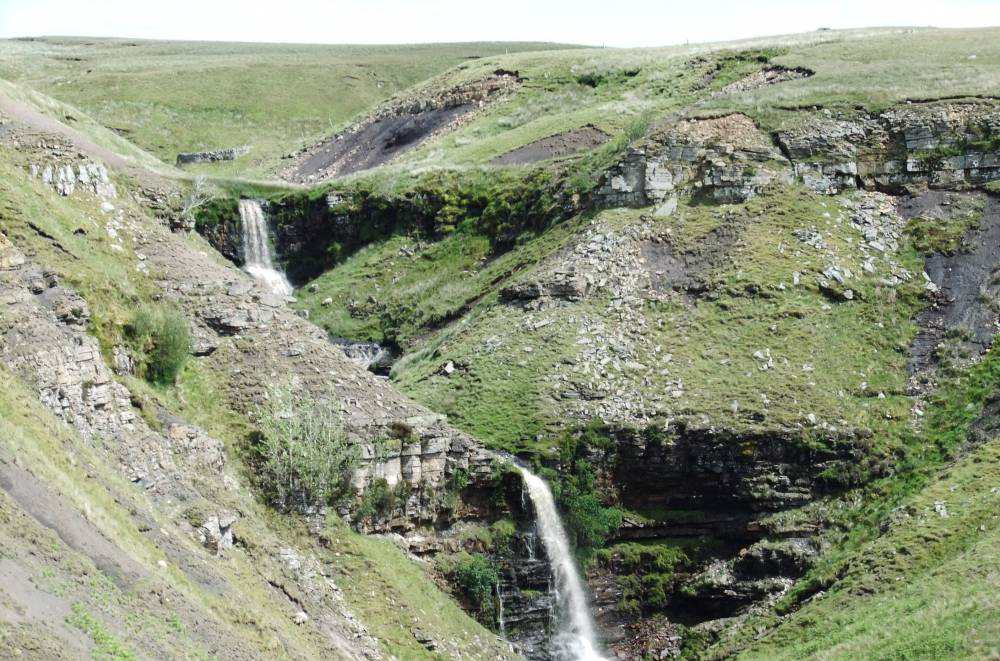
| Location | Ravenseat Moor. . Middle Tongue and Graining Scars. Upper Scar and Waterfall. |
| Civil Parish | Muker |
| Brit. National Grid | NY 8634 0478 |
| Altitude | 500m |
| Geology | Sandstones and mudstones (Tanhill Coal). |
| Record Name | MUK126 Ravenseat Moor. Type A Species-poor Woodland rowan and sallow only. Middle Tongue and Graining Scars. Upper Scar and Waterfall. |
| Record Description | Type A (Acidic)Restricted species relict woodland vegetation on sandstone cliffs. Rowan and sallow the only tree species present.
Plant list not yet available. |
| Geographical area | Upper Swaledale |
| Image 1 ID | 1359 Click image to enlarge |
| Image 1 Description | Graining Scar Upper and Lower Falls | 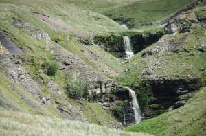 |
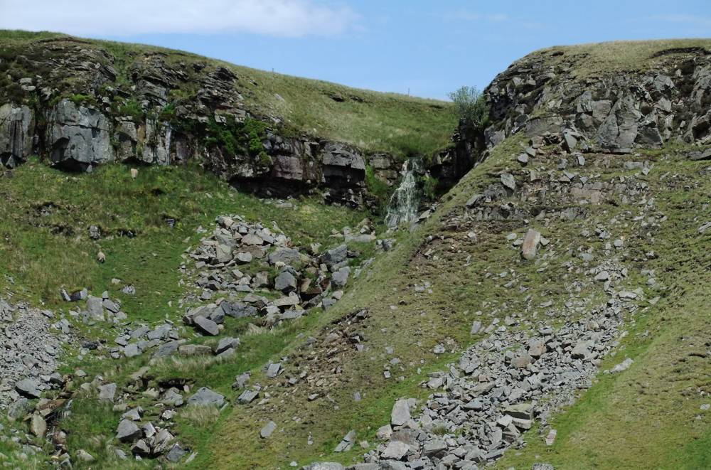
| Image 2 ID | 1362 Click image to enlarge |
| Image 2 Description | | 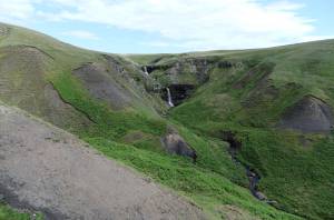 |
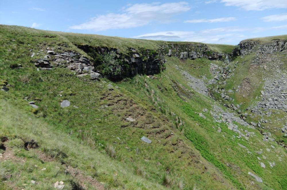
| Image 3 ID | 1360 Click image to enlarge |
| Image 3 Description | | 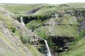 |
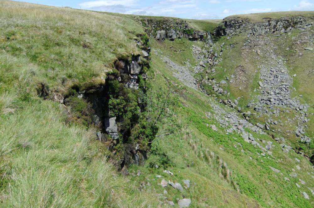
| Image 4 ID | 1361 Click image to enlarge |
| Image 4 Description | Middle Tongue Falls |  |
| Image 5 ID | 1363 Click image to enlarge |
| Image 5 Description | Middle Tongue Scar | 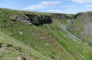 |
| Image 6 ID | 1364 Click image to enlarge |
| Image 6 Description | Middle Tongue Scar |  |